The project involved a collaboration between Kimley-Horn (prime) and Transconomy. The primary goal was to support the Virginia Department of Transportation (VDOT) in assessing 127 park and ride (P&R) facilities across the state under an expedited timeframe. The scope encompassed evaluations of pavement conditions, lighting, drainage, and other features at each site, as well as selected feature inventory information by data processing of imagery collected by unmanned aerial systems (sUAS). The scope included:
PROJECT PROFILE
Virginia DOT Park and Ride Lot Assessment
Scope: Data processing of orthomosaic imagery collected by unmanned aerial systems for pavement condition analysis and selected feature inventory information.
Pavement Condition Data Processing
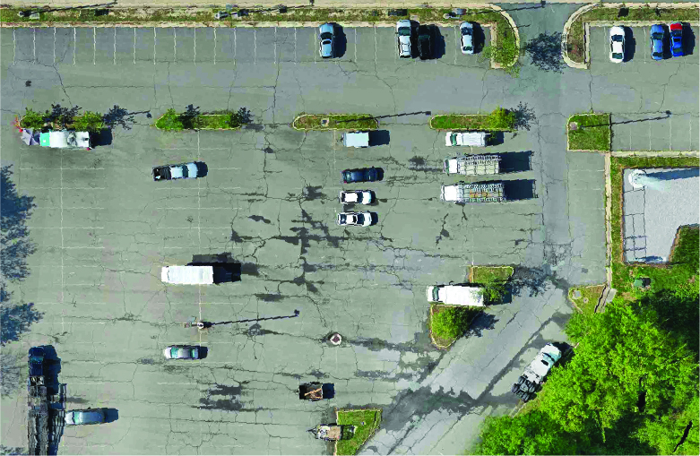
Kimley-Horn provided imagery in .tiff and .png format for 127 P&R sites in six batches, covering a pavement area of 10,720,000 square feet. Transconomy processed imagery for each site using machine learning/artificial intelligence (ML/AI) methods based on the Pavement Surface Evaluation and Rating (PASER) system and delivered results within one week of receiving imagery.
Parking Stall and Occupancy Counts
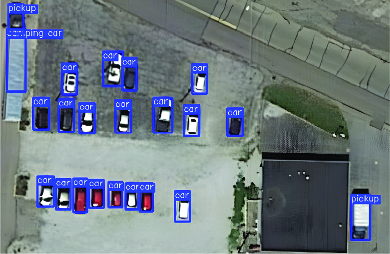
Transconomy also provided the number of marked parking stalls and vehicles occupying each of the 127 P&R locations using the provided aerial imagery. These parameters were used by VDOT to determine the percent occupancy of each park and ride lot. These numbers allowed VDOT to assess present utilization and make well-informed decisions for the future.
*This brochure is a product of Transconomy. VDOT does not endorse the contents of this brochure.
Results: The PASER analysis, encompassing asphalt, concrete, and gravel surfaces, provided critical condition data for near-term and future maintenance planning and prioritization.
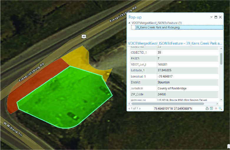
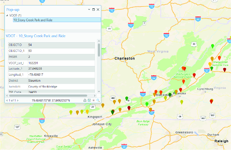
The drone imagery provided for pavement condition analysis was uploaded to the Transconomy Hub. There, an AI-powered system efficiently extracted the PASER ratings, parking spaces, and number of cars. This data was inventoried and assessed according to VDOT’s criteria. The ability to batch locations enabled a continuous flow of data over the compressed schedule to meet the project timeline. Transconomy’s flexible reporting format allowed the resulting data delivery in a spatially referenced format that was able to be merged with the other field-based data collection, ensuring a comprehensive dataset for VDOT.
Transconomy successfully completed a comprehensive asset inventory and pavement condition survey of 127 P&R sites across Virginia. The project covered approximately 10.7 million square feet of pavement. The PASER analysis, encompassing asphalt, concrete, and gravel surfaces, provided critical condition data for near-term and future maintenance planning and prioritization. In addition to the PASER ratings, 26,000 parking spaces were inventoried, and the occupancy (parked cars) was noted.
Benefits: A comprehensive pavement condition survey serves as a key input in optimizing infrastructure management, enabling informed decision-making, and ensuring the longevity and safety of the parking lots.
Transconomy’s AI models delivered a consistent, data-driven assessment of the pavement conditions across the locations. The systematic assessment of the condition of the pavements allowed the client to identify areas in need of maintenance or rehabilitation, prioritize areas, allocate resources efficiently, and make data-driven decisions for managing the parking lots.
The delivered PASER data was integrated with field observations (drainage, lighting, ADA, and pedestrian facilities) to offer a holistic understanding of P&R site conditions, facilitating informed decision-making. The delivered data enabled VDOT to understand the current conditions of the P&R lots, allowing for informed planning for budget needs and prioritization of maintenance activities so that work plans could be created.
The synergy of Transconomy’s ecosystem—comprising cloud-based image processing, machine learning models, and quality control—played a pivotal role in ensuring a seamless workflow to meet data integration needs and project timelines. The success of this project demonstrates the power of collaboration: innovative drone-based collection, AI-based processing, and key field observations produced a holistic, data-driven assessment for VDOT.